yahoo Press
Incoming Hawaii storm could have ‘same type of impacts’ of flooding
Images

1 / 8
2 / 8

3 / 8

4 / 8

5 / 8

6 / 8

7 / 8

8 / 8
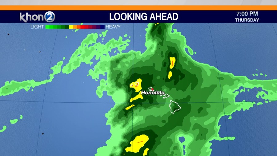
HONOLULU (KHON2) — The National Weather Service is watching a new system that could bring more rain to the Islands after devastating floods from back-to-back Kona Lows.

Forecast models show an upper-level system approaching from the southwest, which increases the chances for moderate to heavy rain in Hawaii.

Forecasters said flooding is a possibility, and it is too early to determine rainfall estimates or an island-by-island timeline. They said the threat of flooding depends on how the system develops and how fast it moves across the state.

“There’s definitely some, some back and forth debate on what makes it a Kona Low, but I would say impact-wise, that people should prepare for the same type of impacts,” said NWS Honolulu Forecast Office meteorologist Matt Foster. “Obviously, if it gets it over the wrong area, that could be problematic, and this is just going to be an ongoing thing that’s going to drag on for several days.”

Preliminary predictions indicate the impacts of the system could affect the islands between Wednesday, April 8, and Saturday, April 11.

Copyright 2026 Nexstar Media, Inc. All rights reserved. This material may not be published, broadcast, rewritten, or redistributed.

For the latest news, weather, sports, and streaming video, head to KHON2.