yahoo Press
South Florida to see wind, rain as tropical depression moves through Gulf
Images
1 / 6

2 / 6

3 / 6

4 / 6

5 / 6

6 / 6
Tropical Depression Two is moving erratically toward the northwest, according to the afternoon update from the National Hurricane Center, but it is still expected to become Tropical Storm Bertha later today or tonight.

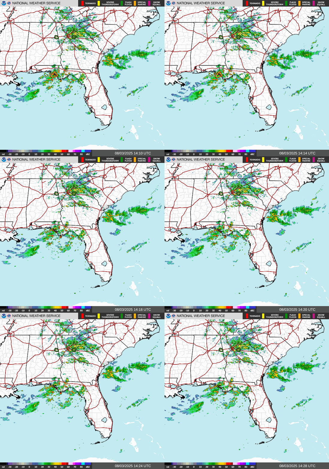
Though no direct impacts are expected in South Florida, "scattered showers" and storms will be possible this afternoon, "as TD2 continues to push to the northwest over the eastern Gulf," according to the National Weather Service office in Miami.

Though the weather won't be a "washout," the NWS recommends keeping an umbrella close at hand.

Heavy rain and thunderstorms are expected across portions of the state's west coast, Big Bend area, and Panhandle, with widespread rainfall in the rest of the state. A tropical storm watch is in effect for much of Florida's Panhandle, and a storm surge watch (meaning there is a possibility of life-threatening inundation) is in effect from the Alabama/Florida border to the mouth of the Mississippi River.

An isolated tornado or two are possible over the Florida Big Bend region today, the NHC said.

The tropical depression is expected to produce up to 2 to 4 inches of rainfall through Friday along the Gulf Coast and adjacent inland locations from western Florida to the Middle Texas Coast, including southern portions of Alabama, Mississippi, and Louisiana, reaching up to 6 inches in some areas, according to the National Hurricane Center.

A heat advisory is in effect for Miami-Dade and Broward Counties from 11 a.m. to 7 p.m. on Monday, July 20, with heat index values expected to range from 104 to 108 degrees, according to the NWS office in Miami.

South Florida has seen a prolonged streak of extreme temperatures recently, with heat advisories regularly issued for parts of the region, especially urban areas.

There's a major heat risk for those in the areas under warning, and the NWS recommends staying hydrated, limiting outdoor activities, wearing light-colored, lightweight clothing and making use of AC if you can, as "fans may not be adequate."

Meanwhile, a wildfire has burned over 13,000 acres in Palm Beach County, according to the Florida Forest Service.

The Berger Wildfire, burning near the Rotenberger Wildlife Management Area, had grown to 13,704 acres and was 75% contained as of July 20 at 1:51 p.m., according to a map of active wildfires provided by the Florida Forest Service.

According to a social media post by the City of Weston, the fire was "contributing to the smoke and falling ash," nearby, and had burned around 1,500 acres as of July 17 at 8:36 p.m.

Though the fire isn't near any heavily populated areas, according to WPEC, smoke may still be visible from surrounding communities.

Wildfire season in Florida is lasting further into the summer this year, extending "dangerous" conditions beyond the state's typical dry period, according to the Florida Forest Service.

"While drought-like conditions have plagued the state since late 2025, Florida's peak wildfire season usually encompasses April, May, and June," reads a post by the Florida Forest Service. The agency wrote that, based on outlooks released by the National Interagency Fire Center, Florida is expected to "see more above-average wildfire potential in July and even August."

Since the beginning of the year, 40,560 fires have burned over 3.8 million acres nationwide, according to the National Interagency Fire Center. In Florida alone, more than 2,600 wildfires have started since January, cumulatively burning over 155,000 acres. The drought in the state, one of the worst in years, has acted as a contributing factor.

Sarah Perkel is a South Florida Connect Reporter for the USA TODAY Network's Florida Connect team. You can get all of Florida's best content directly in your inbox each weekday day by signing up for the free newsletter, Florida TODAY.

This article originally appeared on USA TODAY: South Florida to see wind, rain as tropical depression moves through Gulf